 Translate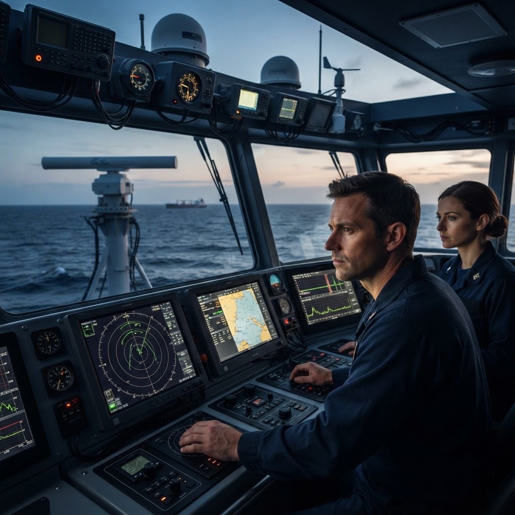
Introduction to Marine Navigation Sensors
An overview of how modern ships use sensors to map their path at sea.
Seeing Without Eyes
Navigating a vessel requires constant data collection. In modern marine engineering, ships rely on an integrated bridge system that merges data from various sensors to provide a clear picture of the ship's location, speed, and surrounding environment.
Radar and Sonar
Radar uses radio waves to detect nearby obstacles like other ships or landmasses above the water. For what lies beneath, sonar is used. Sonar transmits sound pulses that bounce off the seabed or underwater objects. By measuring the time it takes for the 'echo' to return, engineers can map the depth of the water and detect underwater hazards that would be invisible to the naked eye.
The Inertial Navigation System
Beyond simple signals, ships use Inertial Navigation Systems (INS). These consist of gyroscopes and accelerometers that measure the ship's movement in every direction. Even if GPS signals are lost due to cloud cover or jamming, an INS can calculate the ship's exact position by tracking how far and in what direction it has traveled from its last known location.
Try this at home
Test the principle of echo-location used by sonar. Have a friend stand at one end of a long hallway, blindfolded. You stand at the other end. Use a handheld clicker or clap your hands to make a sound. Have your friend point toward the sound as soon as they hear the reflection off the wall. This mimics how sonar 'sees' boundaries. Notice how hard surfaces reflect sound better than soft ones, which is why ships use specialized hardware to get clear readings.
